Piergiorgio Roveda: Pioneering Geospatial Solutions & Urban Planning
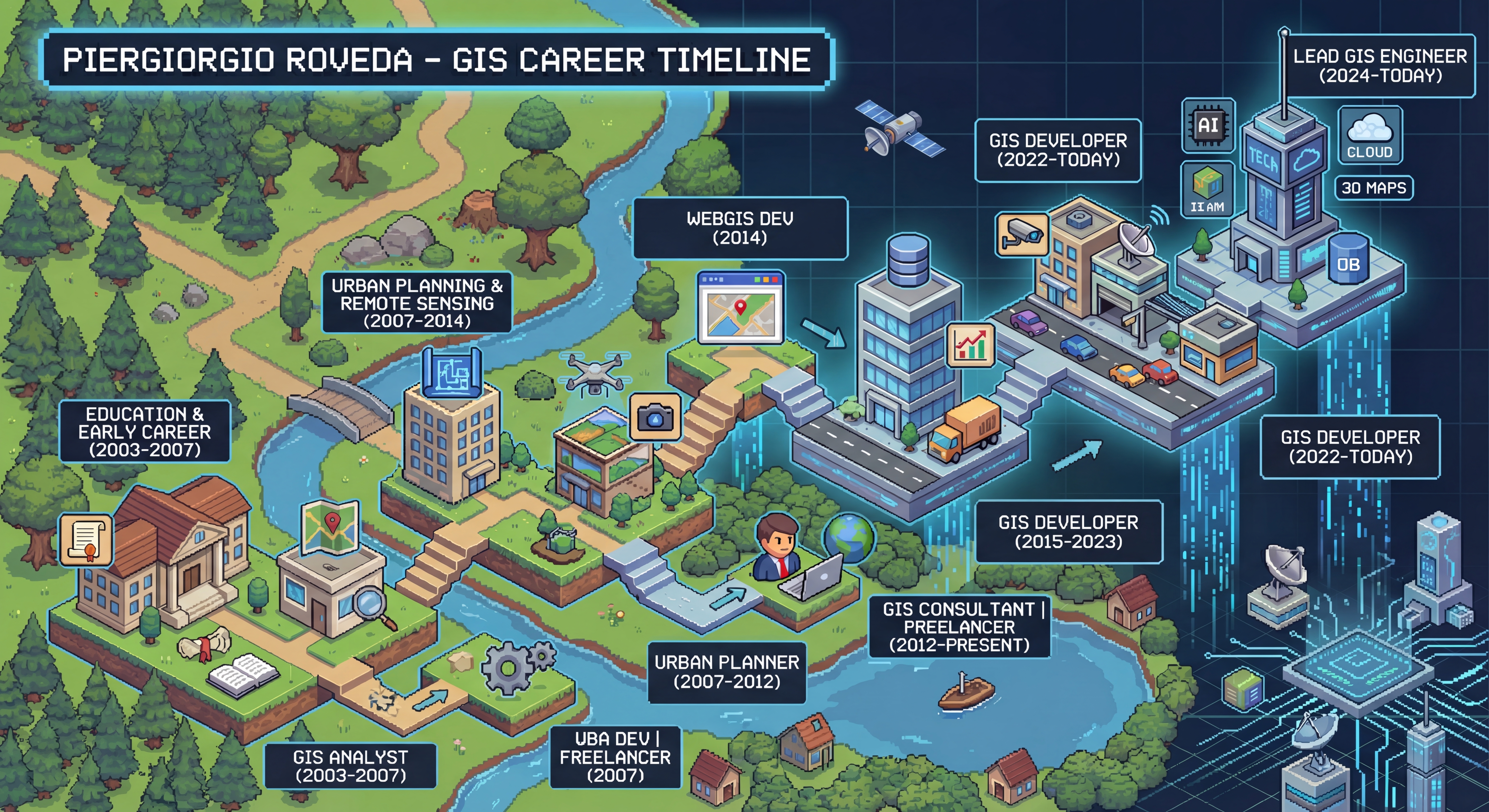
Piergiorgio Roveda is a distinguished GIS expert with over 21 years of experience in managing geospatial data for a wide array of project needs. Specializing in programming, data analysis, and GIS software development, he has established himself as a leader in the field. His career spans government urban planning, where he has influenced land use, zoning, utilities, housing, and transportation policies.
As a highly adaptable professional, Piergiorgio excels in managing high-profile projects and coordinating complex workflows. He is also a dedicated educator, actively contributing to the community through QGIS YouTube tutorials and open-source projects. Currently, he is the full-time developer of GEODASHBOARD, a versatile geospatial platform that empowers users with dynamic maps and actionable insights.
Professional Expertise
Piergiorgio possesses deep expertise in Geographic Information Systems (GIS) development and Urban Planning. His work involves charting cities, populations, and thoroughfares to prepare for future solutions. He is adept at resolving technical issues, troubleshooting problems, and building effective operational frameworks.
Key Achievements
- GEODASHBOARD: Full-time development of a versatile geospatial platform providing dynamic maps and insights.
- Community Leadership: Active contributor to QGIS tutorials and Open Source community projects.
- Urban Planning: Designed and administered government plans affecting land use and public infrastructure.
Skills & Competencies
- GIS Software Development
- Data Analysis & Visualization
- Urban Planning & Zoning
- Project Management
- Team Leadership