AI Transformation in Urban Planning and GIS (Part 1)
Introduction and The Current LandscapeIntroduction
The profound workplace transformation documented in Anthropic's internal research on AI-assisted software engineering offers critical insights for urban planners and GIS professionals navigating their own AI-augmented future. As software engineers experience 50% average productivity gains through AI delegation, urban planning workflows reveal remarkably similar automation opportunities—with some tasks showing even higher potential for acceleration.
This series explores how the delegation criteria, productivity patterns, and skill transformation dynamics observed in software engineering map onto urban planning and GIS work. We examine which planning tasks align with high-automation conditions, where human judgment remains essential, and how professionals can capture efficiency benefits while preserving the democratic values and public accountability that define responsible planning practice.
The Urban Planning GIS Landscape
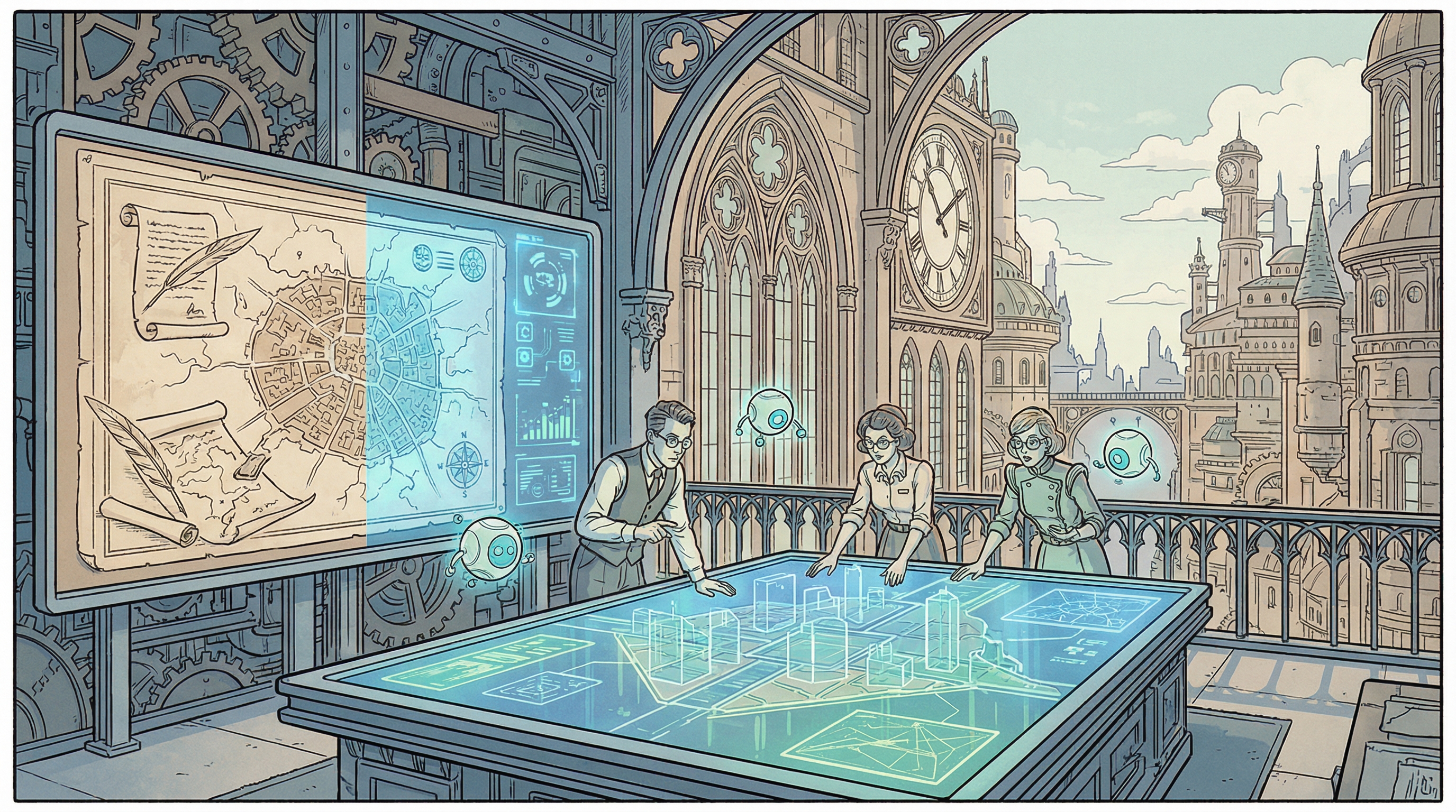
Urban planners use GIS technology daily for a remarkably diverse set of tasks that parallel software engineering workflows in surprising ways. Core activities include zoning compliance review (interpreting complex regulatory texts and spatial overlays), land use mapping and classification (processing remote sensing imagery and field data), site suitability analysis (multi-criteria spatial modeling), infrastructure planning (network optimization and cost-distance analysis), environmental impact assessment (viewshed and proximity modeling), permit application processing (document review and coordination), and 3D urban modeling (visualization and stakeholder communication).
The workflow patterns reveal strong parallels to software engineering. Urban planners spend substantial time on "debugging" equivalent tasks—finding and fixing data quality issues, resolving topology errors, correcting misaligned datasets, and troubleshooting failed geoprocessing operations. They engage in "code understanding" analogs when interpreting dense zoning ordinances, parsing municipal codes, analyzing complex overlay districts, and understanding how various regulatory layers interact spatially. "Feature implementation" manifests as designing new land use scenarios, creating infrastructure expansion plans, developing transportation networks, and modeling future growth patterns.
Traditional GIS workflows involve extensive manual work. A typical zoning compliance review requires 2-5 days per project, involving manual reading of ordinance documents, hand digitizing of setback requirements, overlay of multiple constraint layers, and manual verification of compliance conditions. Land use mapping from aerial imagery or satellite data consumes 1-3 days per study area through manual or semi-automated classification, extensive quality control, attribute table management, and cartographic production. Site suitability analysis for development projects takes 3-7 days, combining multiple spatial datasets, applying weighting schemes, running overlay analyses, and generating comparative scenarios.
Matching Anthropic's Delegation Criteria to Urban Planning Tasks
Anthropic's research identified six key criteria that engineers use when deciding to delegate work to Claude: tasks outside user context but low in complexity, easily verifiable outputs, well-defined and self-contained scope, situations where code quality isn't critical, repetitive or boring work, and cases where prompting is faster than manual execution. Urban planning workflows map remarkably well onto these delegation criteria, suggesting substantial automation potential.
Easily verifiable tasks dominate several urban planning domains. Permit completeness checks can be automatically verified against checklists—do all required forms exist, are signature blocks filled, are attachments present in specified formats? Data quality validation follows clear rules—topology is clean, attributes are populated, coordinate systems match, geometries are valid. Zoning compliance for quantitative standards (setbacks, height limits, lot coverage, parking spaces) produces yes/no answers readily confirmed by spatial measurement.
Repetitive and boring tasks constitute a significant portion of GIS work, much as they do in software engineering. Data integration and ETL (Extract, Transform, Load) workflows run constantly—converting between formats, projecting coordinate systems, joining attribute tables, standardizing field names, validating against schemas. Map production for standard deliverables follows templates—applying organization style guides, positioning standard elements, generating series of similar maps with different extents, exporting to specified formats. Field data cleanup involves systematic corrections—geocoding addresses, snapping features to base layers, populating dropdown attributes, removing duplicate records.
Well-defined and self-contained tasks translate naturally to automation. Standard GIS operations (buffer analysis, spatial joins, clip operations, dissolve functions) have precise mathematical definitions and clear inputs/outputs. Zoning calculations based on parcel geometry (calculating lot area, measuring setbacks, computing floor-area ratio, determining unit density) follow formulaic procedures. Network analysis for accessibility (drive-time polygons, service area calculation, shortest path routing) operates on established algorithms.
Tasks outside planners' core expertise represent significant opportunities for AI-enabled capability expansion, mirroring Anthropic's finding that engineers are becoming more "full-stack". Urban planners with policy backgrounds can now engage in advanced spatial statistics (hotspot analysis, spatial autocorrelation, geographically weighted regression) without deep statistical training. Those focused on regulatory compliance can create 3D visualizations and urban models (extruding buildings from footprints, creating viewshed analyses, generating fly-through animations) without mastering complex 3D modeling software. Planners without programming backgrounds can build automated workflows and Python scripts (chaining geoprocessing tools, scheduling recurring analyses, integrating external data sources) using AI assistance.